基本信息
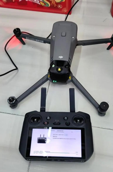
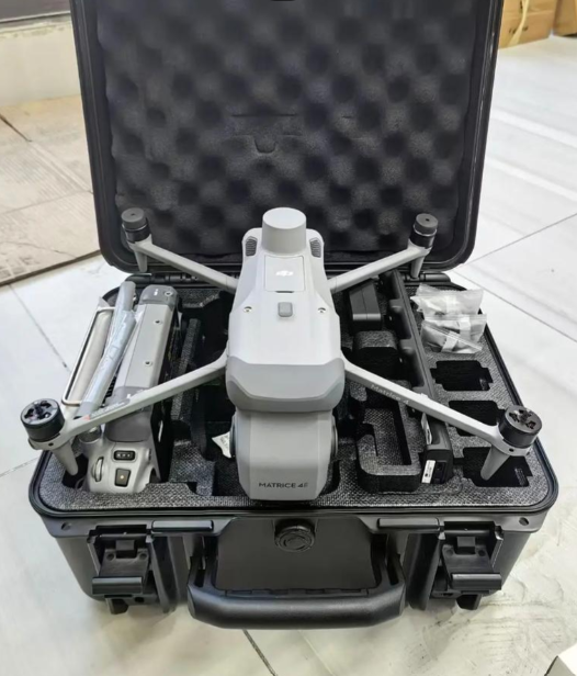
This drone-mounted 3D survey and mapping scanner is designed for large-scale aerial spatial data collection, including urban mapping, agricultural land survey, and disaster area assessment. It solves the pain points of traditional ground-based survey tools that are slow and inefficient for large-area mapping projects. Integrated with high-precision GNSS positioning modules, it delivers accurate 3D point cloud data during drone flight, enabling users to create high-resolution digital twin models of large geographic areas in a fraction of the time of traditional survey methods. Suitable for civil engineering teams, agricultural survey companies, and emergency response agencies, this device streamlines large-scale spatial data collection and reduces project costs.


 发布询价
发布询价


 聊天
聊天


 所有分类
所有分类