基本信息
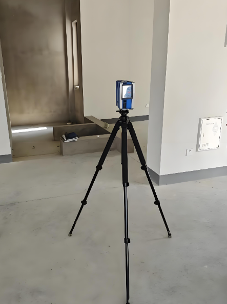
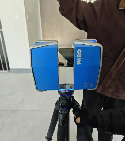
This UAV-mounted 3D mapping scanner is designed for large-scale topographic survey, forest resource survey, open-pit mine monitoring and other large-scale outdoor survey scenarios. It focuses on fast and efficient large-area data collection, enabling large-scale regional 3D terrain modeling without manual on-site survey, solving the pain points of low efficiency and high safety risks of traditional manual survey, and providing users with high-precision digital survey solutions for large-scale regions.


 发布询价
发布询价


 聊天
聊天


 所有分类
所有分类